
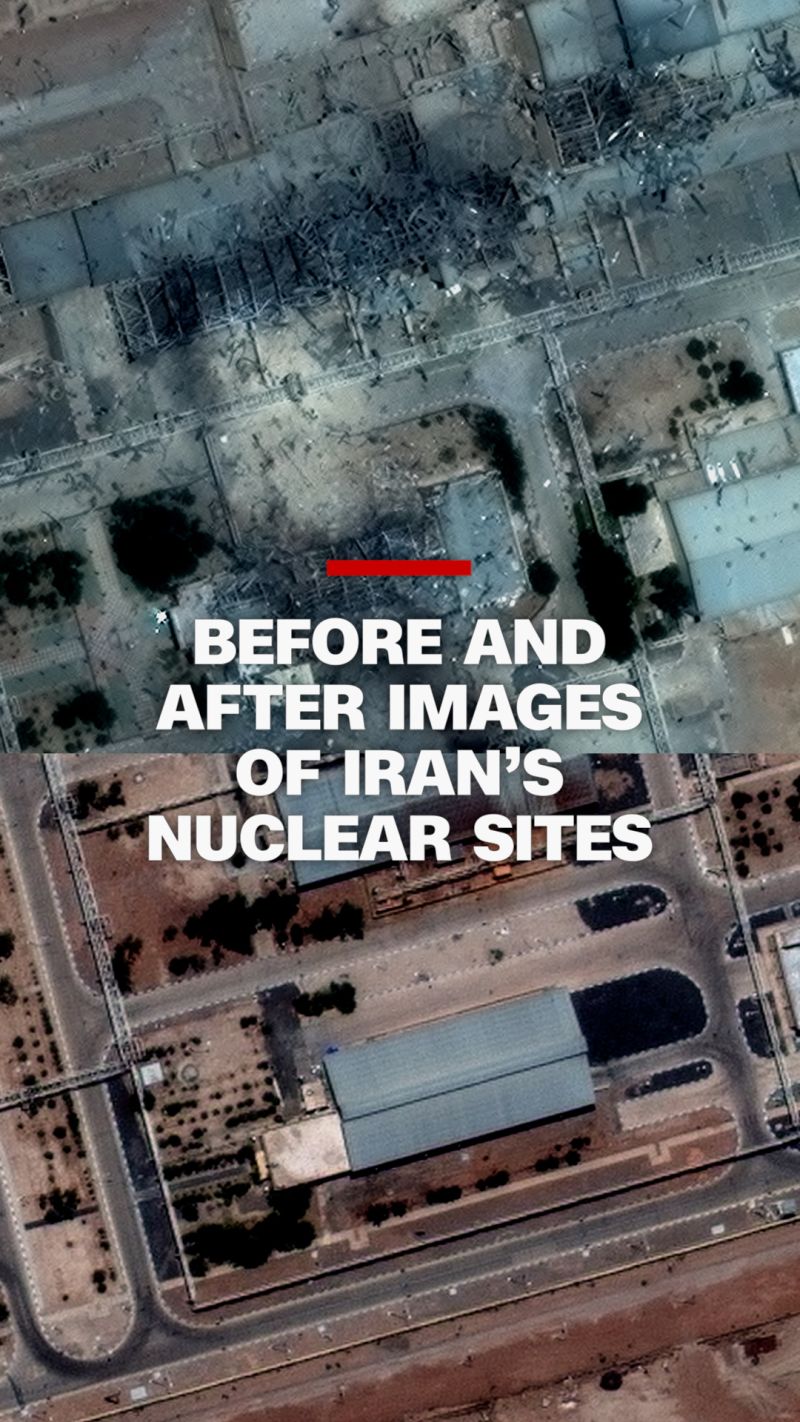
A major commercial satellite imaging company, Planet Labs, has informed its customers it will no longer publicly share imagery from Iran and adjacent conflict zones following a request from the U.S. government.
The decision coincides with escalating reports of airstrikes by the United States and Israel on civilian infrastructure—including bridges, power facilities, educational sites, cultural institutions, churches, and petrochemical installations—targets that could constitute war crimes under the Geneva Convention. This follows President Donald Trump’s recent threats in a Tuesday post on Truth Social declaring, “A whole civilization will die tonight,” after an earlier Easter post warned of “hell” if Iran failed to reopen the Strait of Hormuz.
Simultaneously, assessments of Iran’s military capabilities remain highly contested, undermining official claims of “overwhelming” success. Iranian officials and analysts report significant damage to U.S. facilities and assets in the region, a claim the U.S. government largely dismisses.
Planet Labs’ policy shift emerged through an email sent to journalists and other users dependent on its imagery. The company stated that after receiving a U.S. government request, it has implemented a “managed access model,” restricting satellite imagery to case-by-case releases designated as “urgent,” “mission-critical,” or “public interest” uses. This policy applies to all imagery collected starting March 9 and will remain in effect “through the end of the conflict.” The government’s request also extends to all satellite imaging providers, mandating a voluntary indefinite withholding of imagery in designated areas of interest.
For reporters, researchers, and human rights monitors, the impact is immediate. Commercial satellite imagery has served as one of the few tools for verifying military claims in near real time—documenting strikes on bridges, fuel depots, missile batteries, and government falsehoods. With access narrowing, public knowledge diminishes accordingly. A journalist noted that the decision would severely limit access to a primary U.S.-relied imagery source.
Sarah Wilkinson, a United Kingdom campaigner, stated images of war are being suppressed “to hide the truth.” Kenneth Roth, former head of Human Rights Watch, added that restricting imagery would “make it much more difficult to monitor U.S.-Israeli bombing.”
Planet Labs operates one of the largest constellations of Earth-imaging satellites—approximately 200 units—that image the entire planet daily. The company serves both private clients and government customers, including sensitive workloads meeting federal compliance standards via AWS GovCloud. This positioning makes it vulnerable to state pressure.
The blackout occurs amid expanding conflict where satellite imagery has become essential for verification efforts. Such images have documented attacks—like those on Minab elementary schools—that might otherwise vanish into propaganda. Without independent evidence, the public increasingly relies on government and military accounts. Recent U.S. airstrikes have targeted areas beyond military objectives, with the United States openly discarding “stupid rules of engagement” designed to minimize civilian harm.
The military situation remains disputed: U.S. officials assert significant degradation of Iran’s missile capabilities, while other reports indicate Tehran retains a meaningful arsenal and mobile launchers. Iranian claims of damage to U.S. assets have been corroborated by incidents including a March 3 drone strike on the U.S. embassy in Riyadh causing more destruction than initially reported.
Satellite imagery is indispensable for identifying impact sites, burn scars, damaged infrastructure, and resolving discrepancies in official accounts. A “case-by-case” blackout effectively blocks this scrutiny when it matters most. Planet Labs’ decision underscores how state power can compel commercial data streams to obscure war evidence, turning one of the world’s leading eyes in the sky into a silent observer.